Google map turns 15, brings new features to celebrate with users
Google Maps on Thursday launched a redesign that prominently solicits users’ reviews and photos of places they visit, seeking to grow its data in a field led by local search apps such as Zomato, TripAdvisor, and Yelp. More than 1 billion people now turn to Google Maps to see and explore the world, the company said.
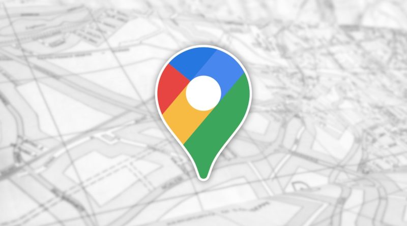
The new Google Maps icon is based on a key part of the tool since the very beginning — the pin — and represents the shift its has made from getting people to their destination to also helping them discover new places and experiences.
The new look, which coincides with Google Maps’ 15th birthday, introduces a “Contribute” tab to a menu at the bottom of the service’s mobile app, Google said in a blog post.
The move could draw concern from Yelp, TripAdvisor, and other companies that have encouraged antitrust investigations into whether Google has improperly used its dominance in search to popularise its newer tools, such as restaurant comparison.
Yelp, TripAdvisor, and Zomato, all of which feature user reviews on businesses, could not immediately be reached for comment. Google said it had responded to user feedback to make contributing easier for the hundreds of millions of people each year who submit data.
Apple ‘s maps app, which launched seven years ago, takes a different approach by incorporating reviews and photos from services such as Yelp.
Among the new product updates that Google announced were features related to helping people stay informed when they make use of public transportation. Google last year introduced crowdedness predictions to help users see how crowded their bus, train or subway is likely to be based on past rides.
The new features will allow people to check in advance if the temperature is considered by past riders as on the colder or warmer side. In regions where transit systems have designated women’s sections or carriages, the new update will help surface this information along with whether other passengers abide by it.
“We’ll start rolling this out globally in March, although availability may vary by region,” Dane Glasgow, Vice President of Product, Google Maps, told reporters via video conference from Google’s headquarters in Mountain View, California.
Some regional apps for transit and local business information contend they have better real-time data and more vetting of user content than Google. But Google’s global footprint along with its ability to crowdsource user data have been big advantages.
Google Maps is focusing on improving people’s experiences, while helping them discover new places. It has five easy-to-access tabs: Explore, Commute, Saved, Contribute and Updates.
“Over the coming months, we’ll be expanding Live View and testing new capabilities, starting with better assistance whenever you’re searching for a place. You’ll be able to quickly see how far away and in which direction a place is,” Glasgow said.
Google introduced Live View last year to help people quickly decide which way to go when they start a walking route with Google Maps.
“By combining Street View’s real-world imagery, machine learning and smartphone sensors, Live View in Google Maps shows you your surroundings with the directions overlaid in augmented reality,” Glasgow said.
Live View uses augmented reality (AR), Artificial Intelligence and your smartphone camera to show the surroundings with the directions overlaid.
However, as the use of Street View is restricted in India, it may take a while for Indian users to make use of the Live View feature in the country.
“The world is always changing — new roads are added, bus routes are changed and natural disasters alter accessible routes. That’s why a map needs to be updated, comprehensive and accurate. Major breakthroughs in AI have transformed our approach to mapmaking, helping us bring high-quality maps and local information to more parts of the world faster,” said Jen Fitzpatrick, Senior Vice President, Google Maps.
“For instance, we worked with our data operations team to manually trace common building outlines, then trained our machine learning models to recognize building edges and shapes. Thanks to this technique, we’ve mapped as many buildings in the last year as we did in the previous 10,” Fitzpatrick said.
Google Maps has mapped more than 220 countries and surfaced information for about 200 million places and businesses. Google has invested billions of dollars from its search ads business to digitally map the world, drawing 1 billion users each month to its free navigation app.
The company has sought to turn a profit on that investment by increasing ad sales throughout Google Maps, and having users be able to rely on it for data on places and transit would expand advertising opportunities.